Jeesiö Gold Project
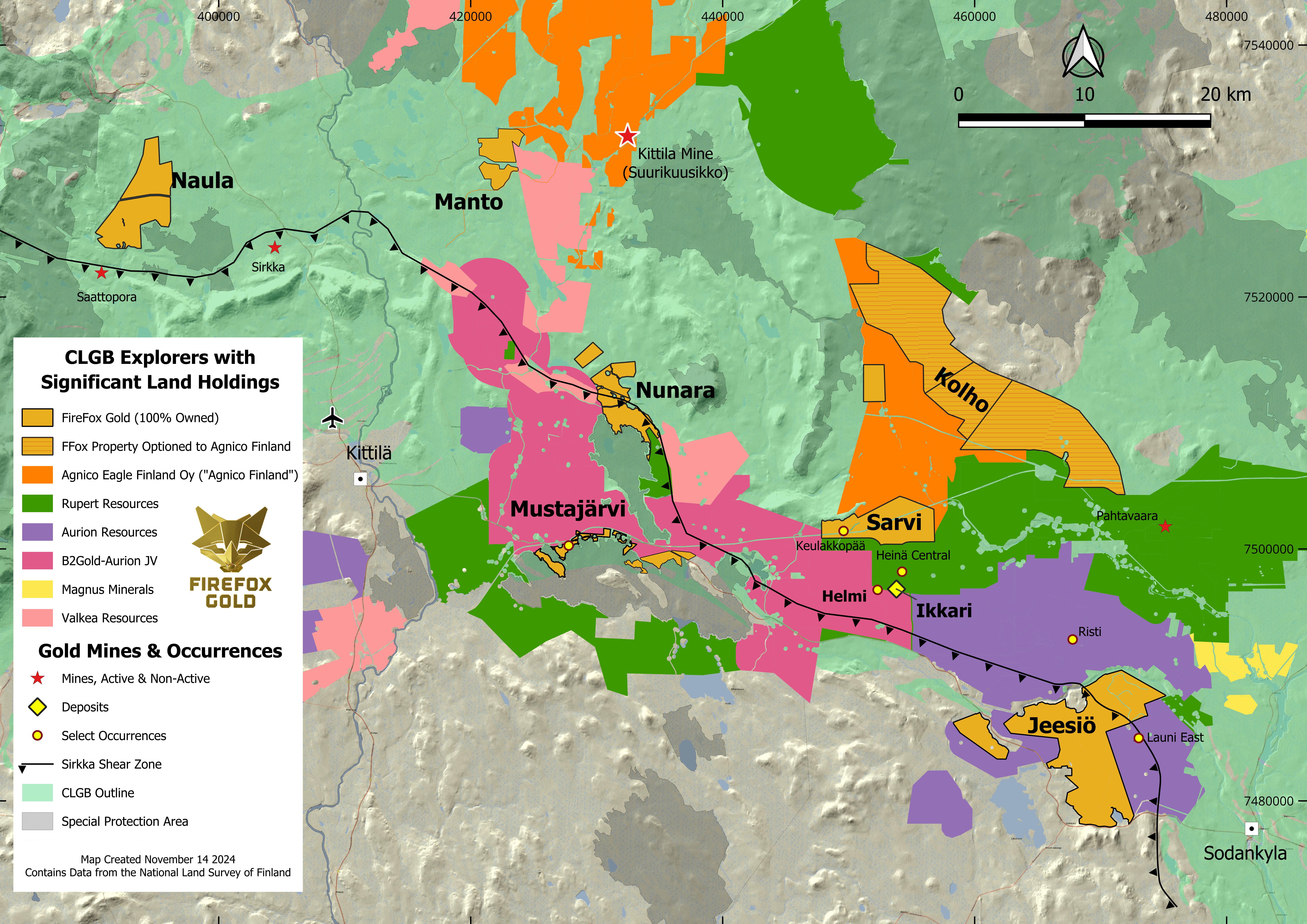
The Jeesiö Gold Project covers approximately 71km2 of the prospective Central Lapland Greenstone Belt, with property proximal to other exciting recent gold discoveries in Finland.
The Jeesiö properties are positioned along regional structures known as the Sirkka Shear Zone and the Venejoki Shear Zone. Both represent major trans-crustal structures that control the emplacement of the majority of the orogenic gold deposits in Lapland. Portions of both structures are interpreted to cross the Jeesiö property.
Targets
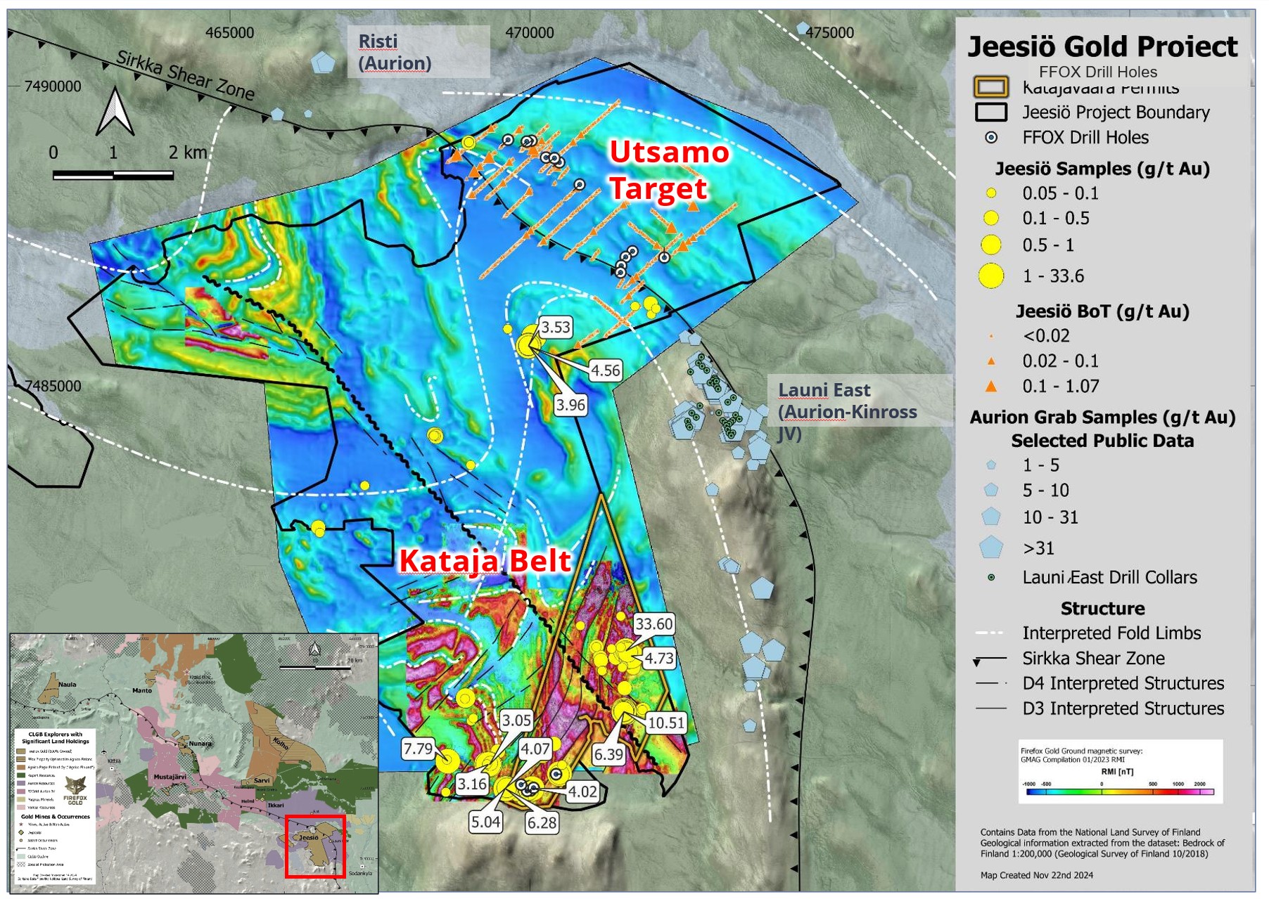
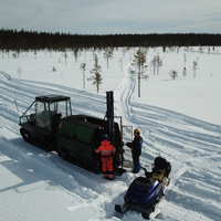
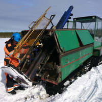
Since 2017 FireFox has used a combination of data compilation, geophysics, prospecting, till sampling, trenching, mechanized BOT sampling, and reconnaissance diamond drilling to identify numerous promising targets at Jeesiö, and has currently prioritized the Utsamo and Kataja Belt targets. Utsamo is situated directly between Aurion’s Risti and Launi gold discovery areas, while the Kataja Belt targets area approximately two kilometres southwest from the gold-bearing quartz-sulfide vein system at Launi.
Utsamo Target: This target covers a five-kilometre-long corridor of complex faults and shears including a 2.8 km long structurally distinct zone, associated with numerous gold anomalies in till, that follows the contact between mafic intrusive rocks and metasediments. This feature is believed to be the continuation of the Sirkka Shear Zone. Base-of-till sampling has identified significant pathfinder anomalies, such as bismuth, tellurium and selenium, that are strong indications of orogenic gold. Reconnaissance drill testing has confirmed the fault zone at depth, along with narrow intervals of base metals and gold pathfinder elements associated with hydrothermal alteration.
Kataja Belt Target: Spanning more than 3km, from south to north the Kataja Belt consists of three gold prospects: Saittavaara, Katajavaara South (KJ South) and Katajavaara Hill (KJ Hill). These are apparently related to northeast-trending younger fault zones and to a major left-lateral fault zone that continues from these three prospects further towards northwest and southeast.
FireFox has found significant gold in surface and trenching samples throughout the area, including an outcrop sample of 10.5 g/t gold, a high trench grab sample of 33.6g/t gold, and in 2024 trench channel samples of 14.62 g/t gold over 2.84 metres, 2.69 g/t gold over 3.38 metres and 1.85 g/t gold over 1.69 metres in a vein zone at KJ Hill.
At Saittavaara, gold values in rock samples from the 2024 program included 3.16 g/t, 3.05 g/t, 2.61 g/t, and 2.57 g/t, extending the trend of significant gold showings to more than 1.6 kilometres.
FireFox continues to explore to advance and refine these target areas. For details of previous work or the program in progress please refer to the MDA, News Releases or the Presentation.Location, Access and Infrastructure
The Jeesiö project is in Lapland, the northernmost province of Finland. The entire property is accessible via paved highway and secondary paved roads. The nearest towns are Sodankyla (pop 8,556) and Kittilä (pop. 6,358). High voltage power lines cross the property.
The northern boundary of the Jeesiö exploration permit application is three kilometres south from the recent Aamurusko (Risti) gold discovery by Aurion Resources Ltd (TSX-V:AU www.aurion.com), and 12 kilometres south-southwest from the Pahtavaara Gold Mine, currently being recommissioned by Rupert Resources Ltd (TSE:RUP www.rupertresources.com). Numerous smaller drilled prospects and deposits are in the vicinity of Jeesiö.
FireFox cautions that being near a discovery, or past-producing mine with a resource, does not indicate that mineralization will occur on FireFox’s property, and if mineralization does occur, that it will occur in sufficient quantity or grade that would be economic to mine. These facts were referenced here to provide context for the prospectivity of the FireFox properties.
Ownership
The Jeesiö Project is comprised of approximately 71 km2 of property holdings, 100% held by FireFox. Approximately 52km2 are subject to a 1.5% NSR and a payment to Magnus Minerals of 1000 troy ounces of gold upon commercial production. For details, please refer to the latest Financial Statements and MDA.
Geology
Most of the project area is covered by a few metres of glacial till and outcrop is very scarce. Regional mapping is largely based on geophysical interpretation. GTK’s regional 1:200,000 mapping program indicates that much of the property is underlain by Archean-aged clastic sedimentary rocks which is intruded by younger Paleoproterozoic-aged gabbro sills and granitic rocks.
In Orogenic-type deposits, structure controls gold emplacement. Portions of the Jeesiö property straddle the Sirkka Shear Zone or related regional-scale structures such as the Venejoki structure.
Typically in Orogenic-style deposits in greenstone environments host gold bearing veins that are enveloped by alteration haloes consisting of iron-carbonate + sericite + sulphide to various amounts of chlorite, calcite and locally magnetite. Pervasive chromium-or vanadium rich green micas (fuchsite and roscoelite) as well as ankerite with zones of quartz carbonate stockwork are also common in sheared ultramafic rocks.
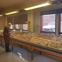
Drilling into the Utsamo target has intersected a lithologic package consisting of arkosic quartzites with some sericite alteration, interlayered with lesser intermediate tuffites and mafic volcanics, which were intruded by narrow mafic and ultramafic dykes or sills. Some holes encountered a 25-metre-thick fault gouge that was formed by extensive shearing, alteration and oxidation of both the arkosic quartzites and mafic-ultramafic rocks. The fault gouge is comprised of pervasive clay alteration enriched in iron oxides and contained abundant fragments of quartz-carbonate-sericite veins similar to those associated with gold elsewhere in the region. Magnetite, disseminated pyrite and abundant carbonate has been intersected in some holes.
At Saittavaara target in the Kataja belt, reconnaissance drilling encountered intensively sheared and sericitized quartzite from just below shallow overburden, including several quartz veins with strongly sheared and silicified wall rock. Disseminated pyrite is prevalent but variable, and the alteration may be termed quartz-sericite-pyrite (QSP), which is commonly seen in orogenic gold deposits.
Trenching at KJ South exposed intensely sheared contact between siliciclastic metasedimentary and mafic intrusive rocks, revealing several mineralized quartz-sulphide veins and lenses within both units. In addition to pyrite and magnetite, geologists also noted the presence of chalcopyrite and copper oxides. The gabbro in the area is likely attributable to mafic sills that are related to a younger continental rift setting (Haaskalehto-type), which are common at the Jeesiö Project. The mineralization encountered in the trenches is clearly controlled by shearing, as it crosscuts both lithologies and the contact between them.
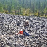
KJ Hill is located approximately 900 metres to the north of KJ South along the trend of a N-S oriented magnetic feature. Along the eastern slope of the hill, there are fields of locally derived boulders displaying abundant mineralized quartz veins. During the 2024 exploration trenching campaign at KJ Hill, the team excavated two NNE-SSW trending trenches. The exposed geology included strongly carbonatized mafic intrusive rocks, strongly schistose siliciclastic metasedimentary rocks, and quartz veins in swarms and lenses striking oblique to the schistosity. The veins and contact may contain disseminated pyrite, magnetite and goethite. There is evidence of strong right-lateral ductile deformation during or before the vein formation.
For additional details, please refer to the MDA .

