Mustajärvi Gold Project
The Mustajärvi Gold Project hosts gold-bearing drill intercepts striking over 2.1 kilometres, including multiple holes with +90gram-metre gold intervals, such as 13.05 metres averaging 15.04 g/t gold including a 0.8 metre at 100.43 g/t gold. Mineralization is open along strike and at depth, and more than 50% of the project area has seen minimal exploration to date, although it has key identifiers for orogenic gold deposits.
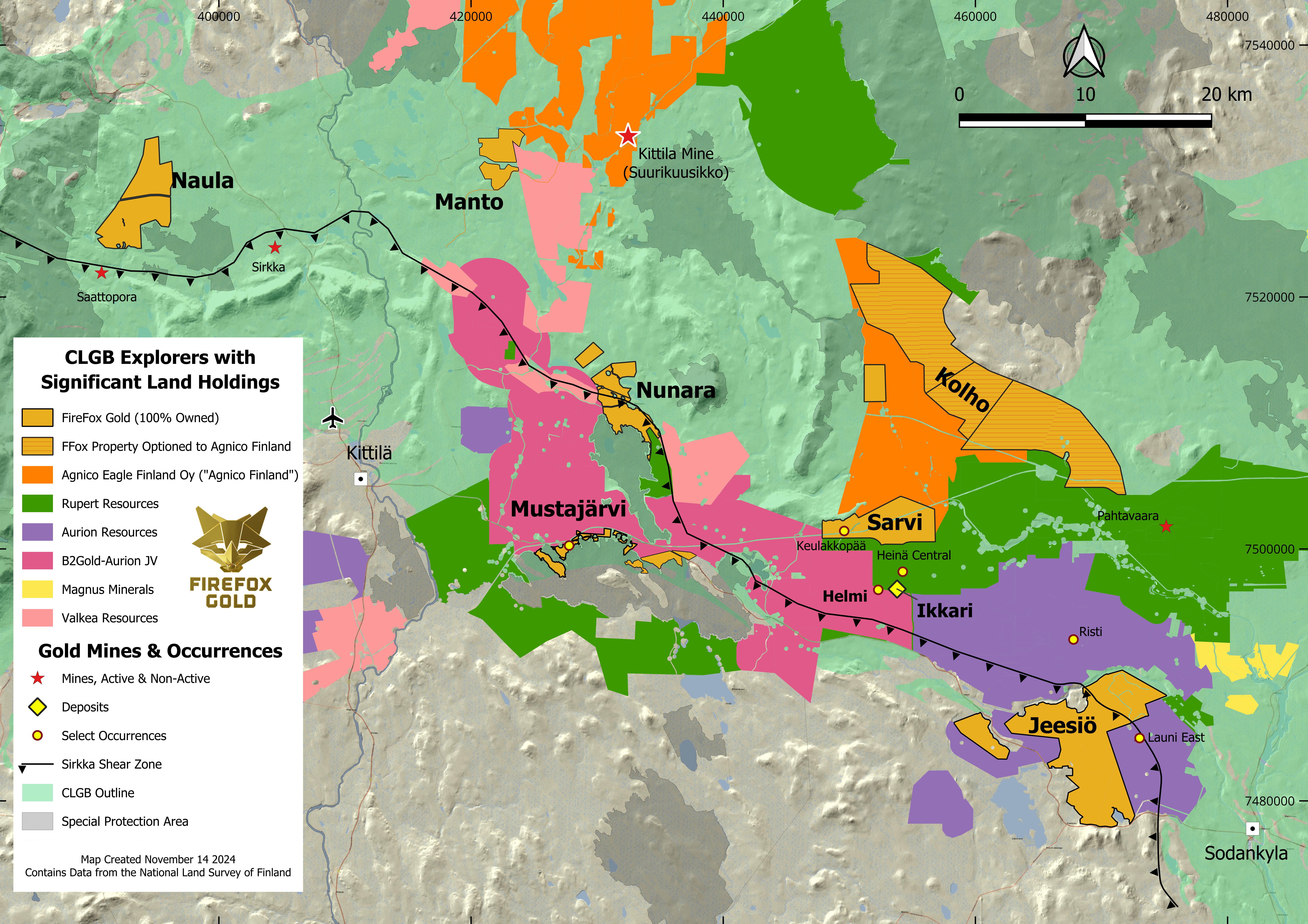
The project covers 7.9km2 of flat, glacial till-covered terrain in the Lapland region of northern Finland, 17 km east of the town of Kittilä, with a paved highway and power line crossing the property.
The project is situated in the Central Lapland Greenstone Belt, which hosts several recent gold discoveries. The observed gold mineralization, structural setting and work to date support the potential for a high-grade orogenic gold deposit on the Mustajärvi property.
Targets
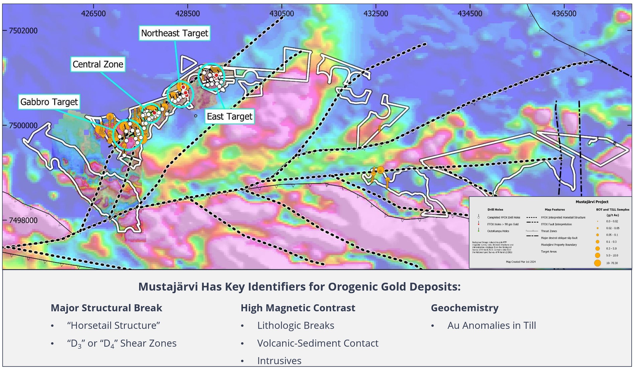
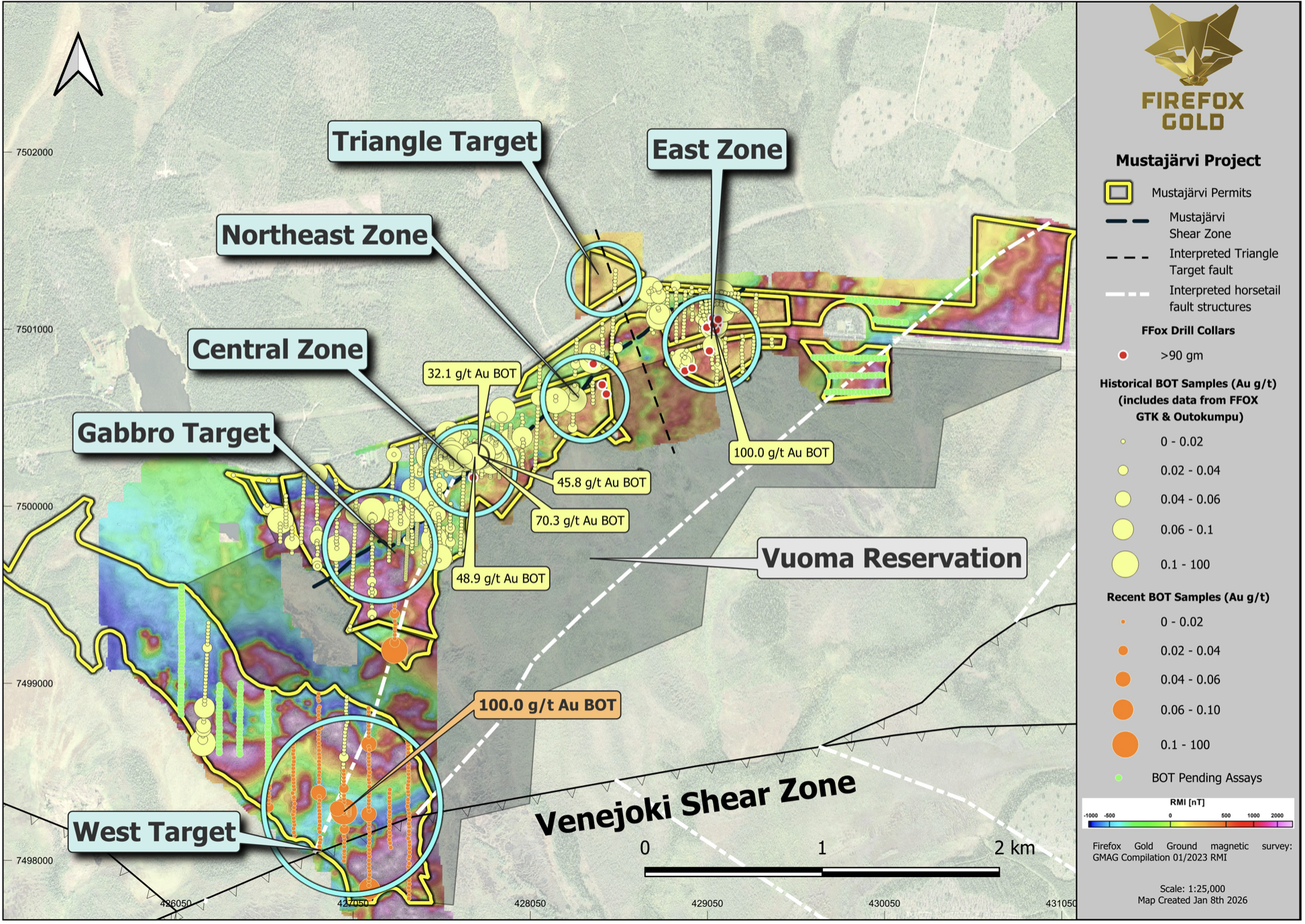
The historical “Central Zone” of gold mineralization at Mustajärvi was the first of the zones to be identified. During the 2019 and 2020 seasons, exploration drilling by FireFox advanced to the northeast from the Central Zone and resulted in the identification of the Northeast Target. In 2021, the predictive 3-d modeling of the dilatant zones identified the East Target, which was first confirmed by gold intercepts in two holes drilled 650 metres further to the northeast.
The project now hosts gold-bearing drill intercepts over 2.1 kilometres. In addition, FireFox has now drilled fourteen holes that returned > 90 gram-metres of gold mineralization, with five holes returning >200 gram-metres of gold, from three different target areas at Mustajärvi. These intercepts occur along more than 1.5km strike of the shear zone. Examples of these intervals include:
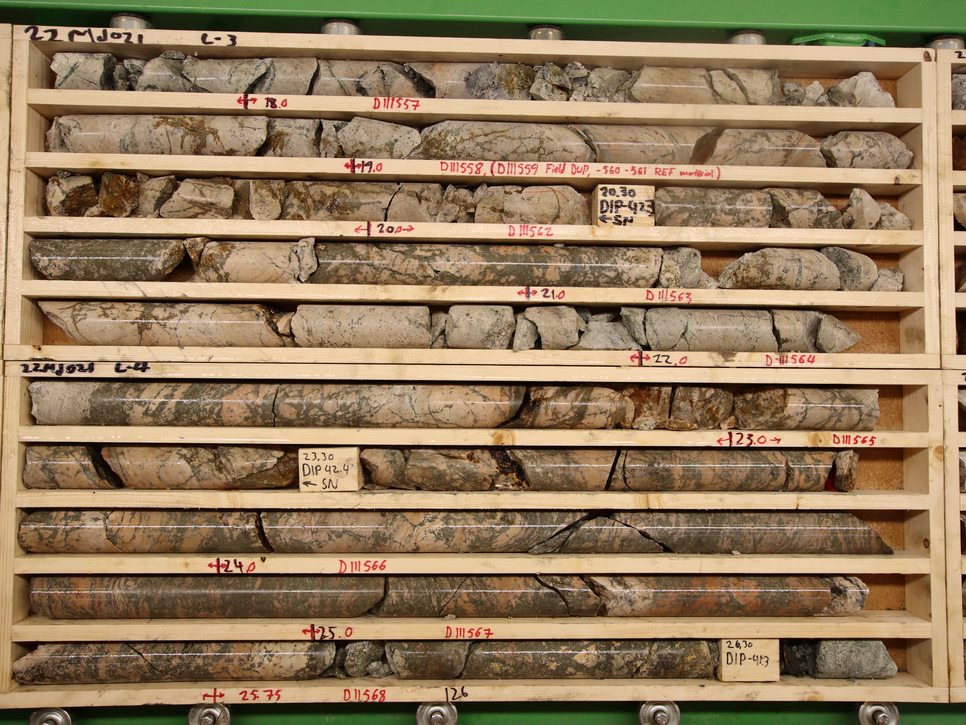
Hole 22MJ021 in the East Target returned a 15.5-metre interval averaging 13.09 g/t gold. Expressed in terms of grade-thickness, this interval alone measures over 200 gram-meters of gold.
Hole 21MJ001 in the Northeast Target hosts visible gold and cut 1.35m averaging 93.88 g/t gold, including 0.65m at 129.5 g/t gold. Including two additional high-grade gold intervals of 5.27 g/t and 26.9 g/t, this drill hole returned a total grade thickness of more than 150 gram – metres of gold.
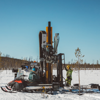
On-going drill programs continue to test for new mineralization along strike and at depth.
Location, Access and Infrastructure
Highway 80, which is part of the paved Finnish national highway grid, passes through the northern part of the Mustajärvi claim between the towns of Sodankylä and Kittilä. Both towns have populations ranging from 6,000 to 9,000.
Kittilä, which is 17 km west of Mustajärvi, is a winter travel destination with daily flights to Helsinki and other European cities in the winter, with fewer flights in other seasons.
A high-voltage power-line also cuts through the property. There is abundant water in the area and water rights could likely be obtained for milling.
Ownership
Firefox Gold Corp. (“Firefox”) owns 100% of the Mustajärvi exploration permit, subject to a 1% NSR royalty payable to Aurora Exploration Oy (“Aurora”), half of which can be purchased for US$500,000. The exploration permit allows for detailed work, including drilling. The project also includes three additional permitted areas (Mustajärvi East, West and Pikkulehto) that are 100% held by FireFox. For additional details please refer to the latest Financial Statements and MDA.
Geology and Mineralization
The Mustajärvi property is located within the Central Lapland Greenstone Belt (“CLGB”), a poorly-explored package of Paleoproterozoic-age mafic volcanic and sedimentary rocks which underwent three ductile compressional events around 1.79-1.92 Ga followed by one or more brittle stages.
The Mustajärvi property is located between the Venejoki and Sirkka thrust zones. A NE-trending magnetic low passes along the axis of the Mustajärvi property for 2.6 km, possibly representing a second-order structure like that which hosts the Suurikuusikko deposit 33 km to the north.
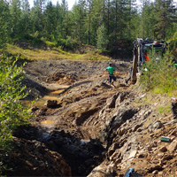
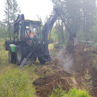
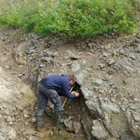
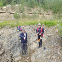
The geology in the Mustajärvi area is dominated by the contact zone between the Sodankylä Group siliciclastic metasediments and the Savukoski Group ultramafic and mafic volcanics. This contact is usually gradational with mafic-ultramafic interlayers in the siliciclastic metasediments close to the contact zone. Black schists interlayered with mafic tuffs have been observed near the contact zone. The contact zone is thought to provide a major control for the gold mineralization due to the competency contrast between the lithologies, auriferous veins generally following the contact zones between mafic-ultramafic volcanics and siliciclastic metasediments. The oriented drill core, combined with the surface mapping in trenches, has provided much more insight into the structural controls on mineralization.
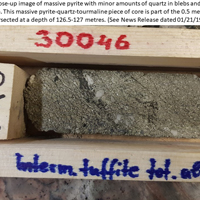
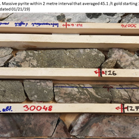
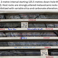
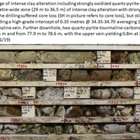
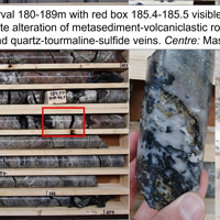
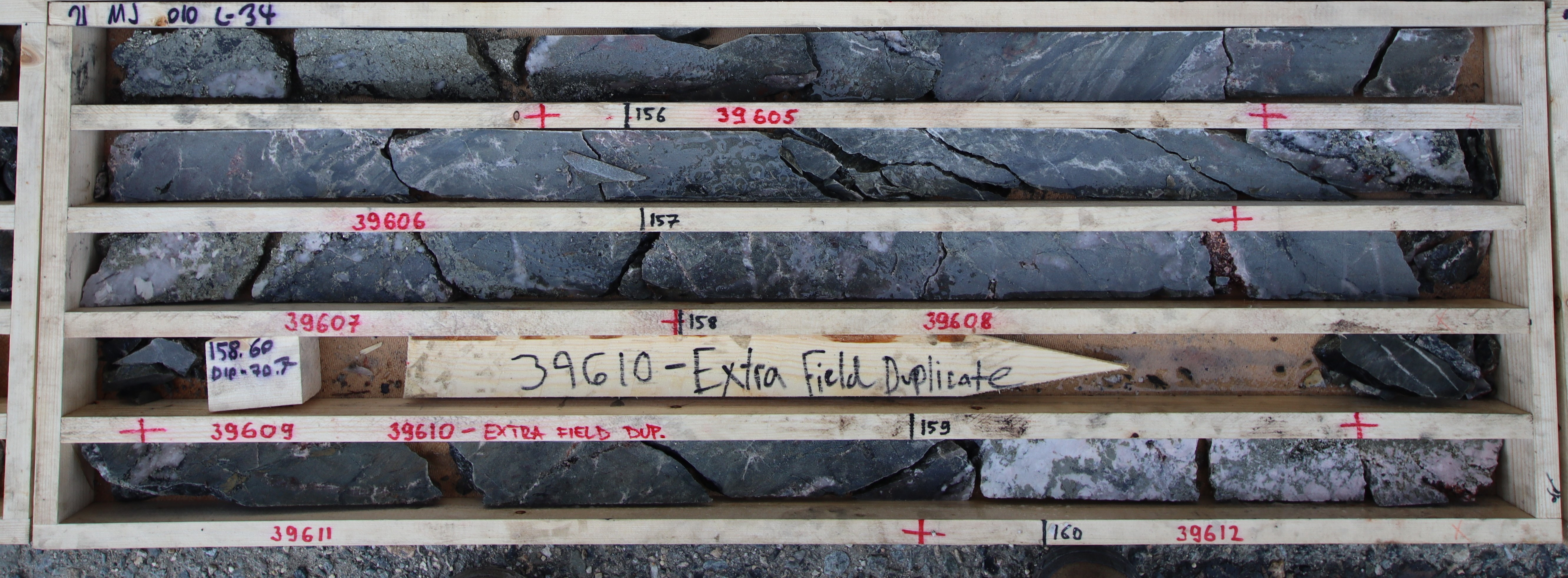
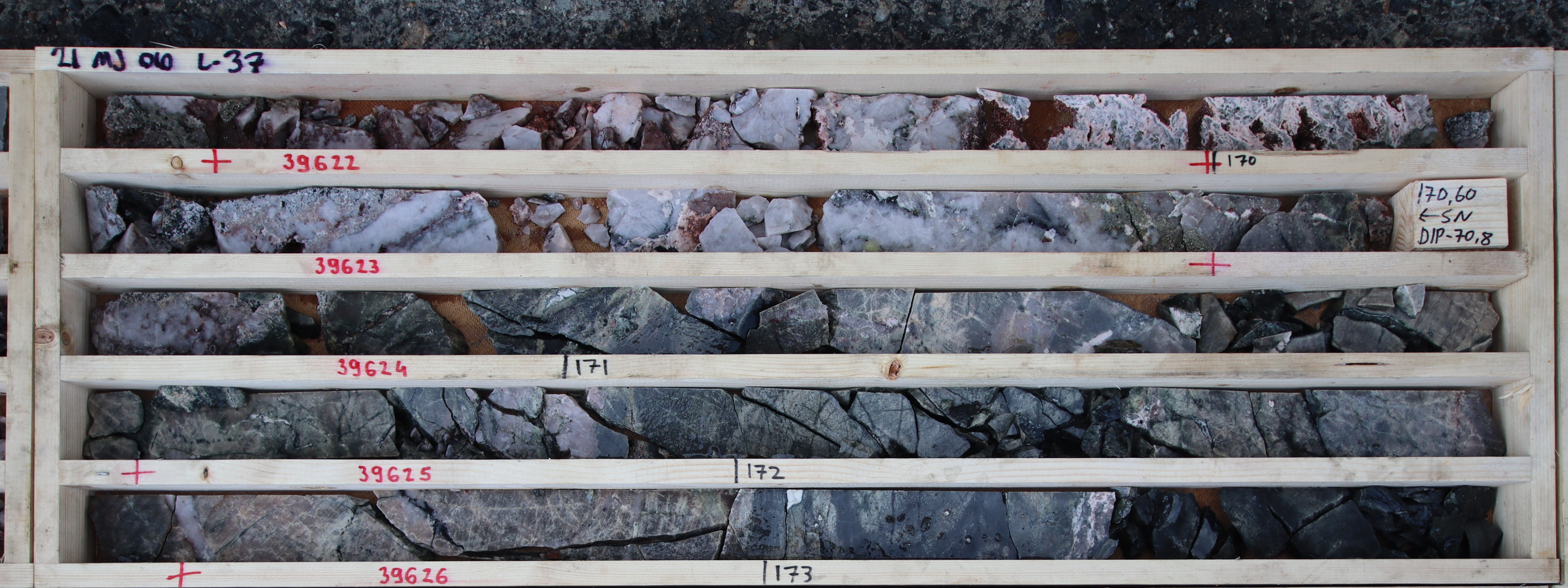
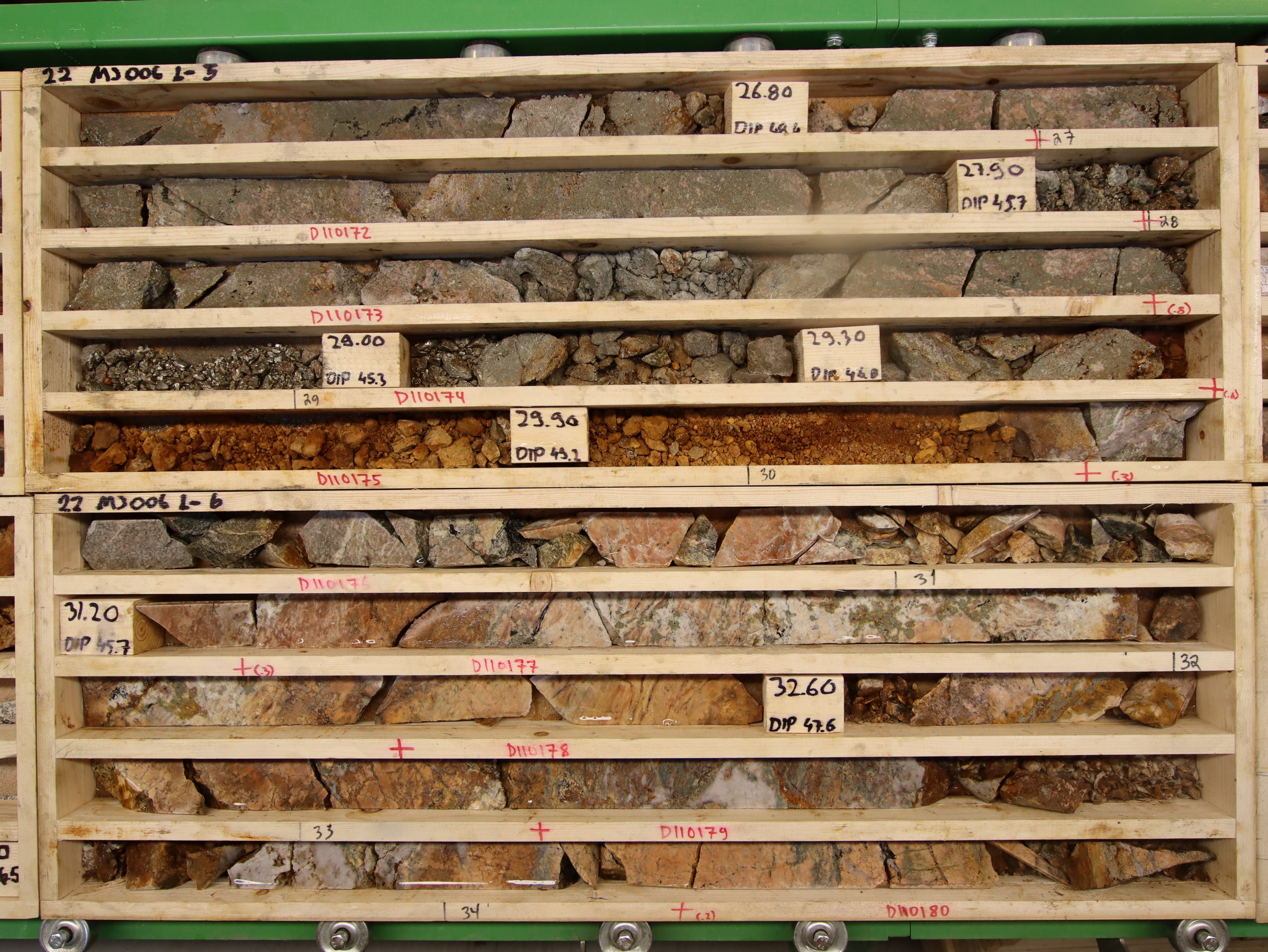
High-grade gold intervals are commonly hosted within quartz-carbonate-tourmaline (QCT) vein with abundant pyrite. The strongest mineralization to date at Mustajärvi has occurred in the footwall Sodankylä Group rocks, which are to the north of the shear zone. In this area, the Sodankylä Group includes metamorphosed sedimentary and volcaniclastic rocks. Along the alteration zone associated with the shear zone, these rocks have been made brittle by pre-gold pervasive alteration, including albite, silica, and sericite. Where these altered rocks are shattered, brecciated, and veined, high grade veins have been reported.
For additional details please refer to the Technical Report, MDA and recent News Releases.

